This section was a about 7.5 miles from Miners Bridge in Betws Y Coed to Dolwyddelan. The forecast for the day indicated it would rain but that it would brighten up later. The reality was a fantastic day - once the first ten minute down pour had exhausted itself. This day was also a day off for Helen who was giving a talk on HM Stanley and his artist wife Dorothy Tennant in Denbigh so I was joined by Mike Costello - who is largely responsible for the better photos on this bit of the blog.
You will remember that we finished the last section in the rain and dropped down into Betws y Coed for shelter and to pick up our car. The route doesn't actually go into Betws so we started this section at a point on the A5 just to the west of the town at the Old Miners Bridge over the river. Its a good access point that enables a walker to get back onto the route shown by the LDWA and the Cicerone guide book. Having crossed the bridge there is a short but steep uphill section to a narrow metalled road. There is a choice here to walk along the road to the west or to climb further onto a path leading up to Diosgydd Uchaf. As it was still raining at this point, and the map shows the path uphill actually comes back down to the narrow metalled road we were on (after about a mile) we chose to stay on the road. This was the better choice as we had great views into the river valley to see the river in full force.
After about a mile the rain stopped and we re-joined the route of Sarn Helen proper at Diogydd Isaf - shown on OS map and in a photo.
Cicerone shows the need to do a short 50m uphill bit from here before turning left onto a path which doubles back downhill.. This was a pointless diversion as the path goes back virtually to Diogydd Isaf - where it can be seen from where we stood on the road. We simply crossed the road at Diogydd Isaf onto the path and turned downhill back towards the river on the well marked track. Keep going downhill, ignoring minor paths on right, until you come to an obvious T junction overlooking the river and turn right. (Mentioned in Cicerone). This path is a bit muddy but is well marked. It is however narrow with a fence to the left separating the walker from a steep slope into the river. This path gets narrower with a cliff on your right and the drop to your left; it does give the reward of great views down to Swallow Falls not seen by the tourists on the observation platforms on the opposite bank. The description in Cicerone is a bit complicated compared to the above and mentions a Tea Room at Allt Isaf which we didn't find. See page 50.
The marked path continues along the river with various viewing points and photo opportunities. Eventually the path meets a metalled road adjacent to an Outdoor Pursuit Centre. Turn left here and drop down to the A5 and the Ugly House Tea Room - great coffee and cakes.
From this point the walker has some decisions to make. You can follow the Cicerone guide back up the lane ( North) adjacent to the Ugly House and turn left onto a path which eventually leads back to the A5 further west near the Army training camp. The second choice is to walk along the A5 towards Capel Curig until you pass the training camp and come to the path leading down to the Stepping Stones crossing the river. We studied the map. We believed that the river was in full force and that the stepping stones crossing point would likely be underwater; we also saw that the A5 is extremely busy - with road works on the pavement - so we went for a third choice which in our view was safer and more likely to follow the line of the actual roman road ( see Cicerone).
Our choice seemed a no brainer - cross the A5 road at the Ugly house and walk across the main road bridge ( South) and then take the immediate right onto a narrow metalled road leading right towards the site of the Roman Fort Caer Llugwy (see OS map).
After a pleasant and easy walk along this quiet narrow metalled road you will come to the site of the Roman Fort on your right - its actually just a slightly raised area in a field with no public access. After a further short distance along the road you will come to a stile over the wall between you and the river - this is where the path from the stepping stones crossing comes out. We walked on in safety from traffic and with dry feet to the old chapel below Cerrig Gwynion ( now a holiday home on your left set back from the road). Alongside the old Chapel House there is an obvious track climbing south. Take this path and walk uphill away from the river. You will cross a small bridge with a gate and continue upwards. This path climbs steeply up to a height shown on our GPS as 987ft. The track then levels out across the moor and gives great views of Moel Siabod and the hills to the North behind you.
The track is shown on OS map as " other route with public access" - (green dots) and the track is obviously also enjoyed by mountain bikers and the occasional motor cross bike. . The track is still pleasant despite the ruts and is easy walking and you eventually drop down into the forest. Keep heading South on the main track and you will cross two main streams with bridges over before you come to a point where the track splits into two. This is just above Dolwyddelan and both routes will eventually take you down to the A470. We took the right hand turn ( left hand route has a lock bar to prevent vehicle access.) and dropped down towards the A470 along a steep narrowing track not suitable for vehicles - ignoring a further track off to the right which goes to a view point . The track down brings the walker out between houses on the A470 very near to the next path seen across the road. Cross over and through the small gate and cross the water meadow towards the war memorial and a small church. We finished this section at this point. It is a short distance from this point to the railway station where you can catch a bus or the train ( infrequent) back to Betws Y Coed.
This section was pleasant and an easy walk, again the Cicerone guide gives a number of options as have we. This walk was always going to rely on personal choice but I would not recommend walking for any distance along the main A5 from the Ugly House. I also would not recommend using the stepping stones when the river is high. I can however recommend the Ugly house tea room for morning coffee!.
Hopefully we will also have time in the near future to investigate an interesting secondary route from The Miners Bridge in Betws to Dolwyddelan (Cicerone page 67) Hopefully we can make a circular walk of this bit.
 |
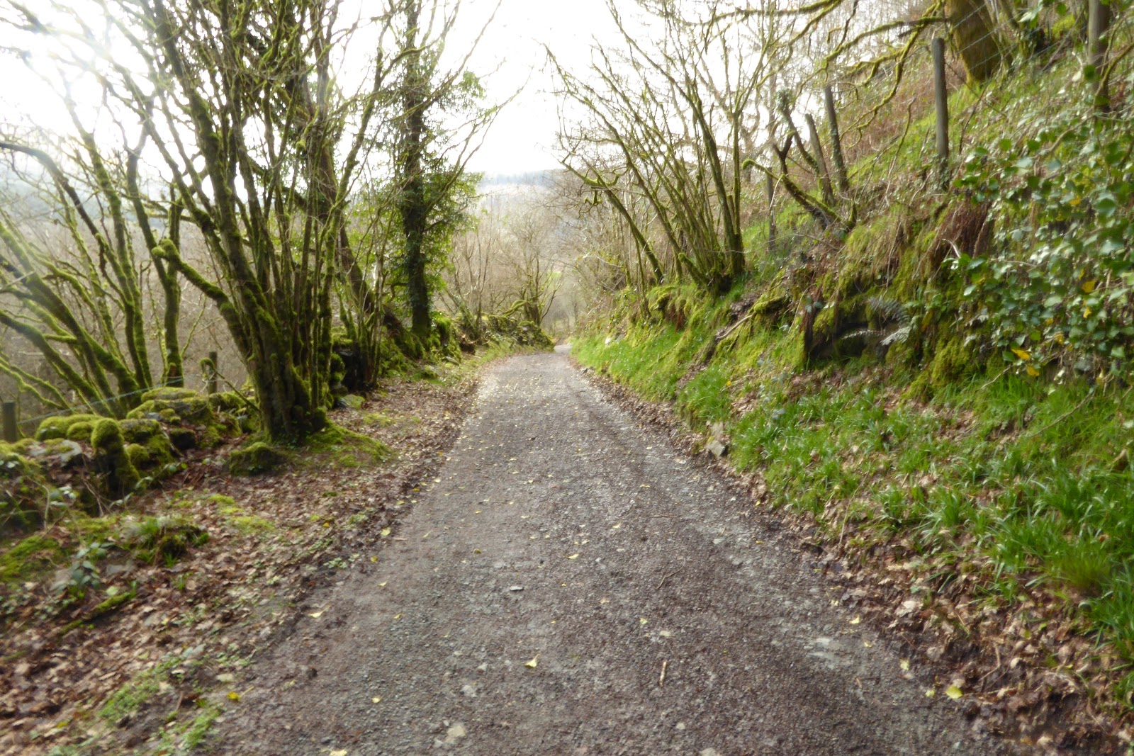
| Start Diosgydd Isaf |
  |
Path down to river with Mike - proves he exists! Shows footbridge on the way down. Narrow path above Swallow falls  
Route from falls to Ugly House

Ugly House (not Ugly Mike) Great Tea Shop

Our suggested route - cross river here using main road bridge

Quiet Road towards Moel Siabod - Caer Llugwy to right
 
Path from Stepping Stones Crossing - note River

Track up past Old Chapel from Road

Looking back towards gate and small bridge ( and Mike - needs more porridge on a morning!))

Roman Road bears right ( 987ft)

Across moor on Roman Road

Keep straight on

Moel Siabod and Blue Skies

Forest Track ( mike in front this time) Keep straight on

View back towards North and Siabod
Trail down into Dolwyddelen

Onto A470

Cross Road and head across water meadow towards Church

Crossing water meadow by river
  |
No comments:
Post a Comment